There’s a famous saying, “the map is not the territory.”
That goes double for maps of the Lower Mainland. You can map Metro Vancouver and the Fraser Valley any way you want, whether it’s by municipal boundaries, by streets, by elevation and geography, and it won’t tell you how people experience this region up close.
But a map can be instructive. It’s just that we don’t map things in the right ways.
Most maps, for example, cover the whole of the region, but don’t consider mode of travel.
I map the world very differently on my bike than I do by car. There are multi-use lanes that allow cyclists to jump from road to road in ways that are impossible for cars. Conversely, as a fairly cautious rider, there are major roads that look appealing on a map that I simply never consider using – the traffic’s too dangerous, the road shoulders are too narrow.
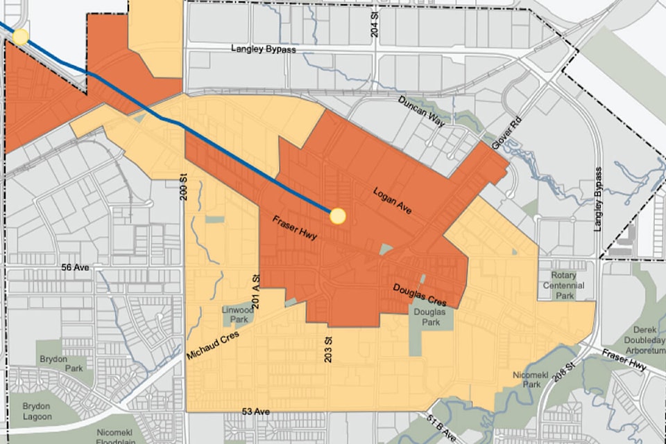
In a few years, the SkyTrain is going to arrive here in Langley. If you are the resident of a home within a few blocks of a local SkyTrain station, and you don’t have a car, what does your mental map of the Lower Mainland look like compared to the map of someone with a car?
For a pedestrian/SkyTrain/bus user, downtown Surrey and Metrotown, even downtown Vancouver are relatively close. But somewhere like Crescent Beach or Clayburn – well, they’re accessible, more or less, but it’s not nearly as easy to get there. They might be geographically closer than Vancouver, but they’re farther on the mental map of a frequent transit user.
READ ALSO: PAINFUL TRUTH: Aim for the EV tipping point
SkyTrain and sufficiently frequent bus service will re-map Langley, both for longtime locals, newcomers, and visitors.
There are folks who have lived in downtown Langley for decades without a car who will suddenly find their capacity for travel greatly increased. It’s a massive gain in freedom of movement, which will allow them easier access to everything from jobs and education, to access to parks, theatres, and cultural experiences. It will literally add more territory to their worlds.
The SkyTrain can be seen as the spine of a city that lives in parallel to the car-city of Metro Vancouver.
Everything along the line is within an hour’s travel or less. Where it intersects with major bus transit hubs, those are major nerves reaching out from the spine itself. But some areas – more rural, more suburban, more car dependent – are essentially part of another urban world altogether.
The province and region and cities of the Lower Mainland are in the early stages of an ambitious plan to massively reduce the number of trips we make by car.
But right now our maps – mental and real – and the territory itself, are both optimized for private vehicles. We’ve spent a century doing that, and it’s not going to be undone in a decade.
Knowing that we can understand our region differently – seeing it as a network of pedestrian paths, or of bike lanes, or of SkyTrain and bus routes – is one important step towards changing the territory on which we travel.
Have a story tip? Email: matthew.claxton@langleyadvancetimes.com
Like us on Facebook and follow us on Twitter.