Langley Township has rescinded evacuation alerts for about 350 properties near the Fraser River, as water levels peaked on Monday and began what is expected to be a slow decline.
On Monday, July 4, water levels on the Fraser River reached 5.87 metres on the Mission Gauge, the most commonly used yardstick for the river’s height in the Lower Fraser Valley.
That’s only slightly higher than two previous peaks the river has hit already this spring and early summer, and well below the potential peak of more than 7.3 metres that was being forecasted by provincial authorities as recently as last week.
An anonymous spokesperson for the Township of Langley said that the evacuation alert for residents and businesses in low-lying areas near Allard Crescent, Fort Langley, and Glen Valley was lifted as of Monday afternoon.
The most recent provincial forecast released before press deadlines showed the water levels peaking at as high as 5.92 metres on Tuesday.
Water levels are now expected to slowly decline and hit 5.5 metres by July 10.
Until the river drops below that level, Langley Township staff will be inspecting dikes daily.
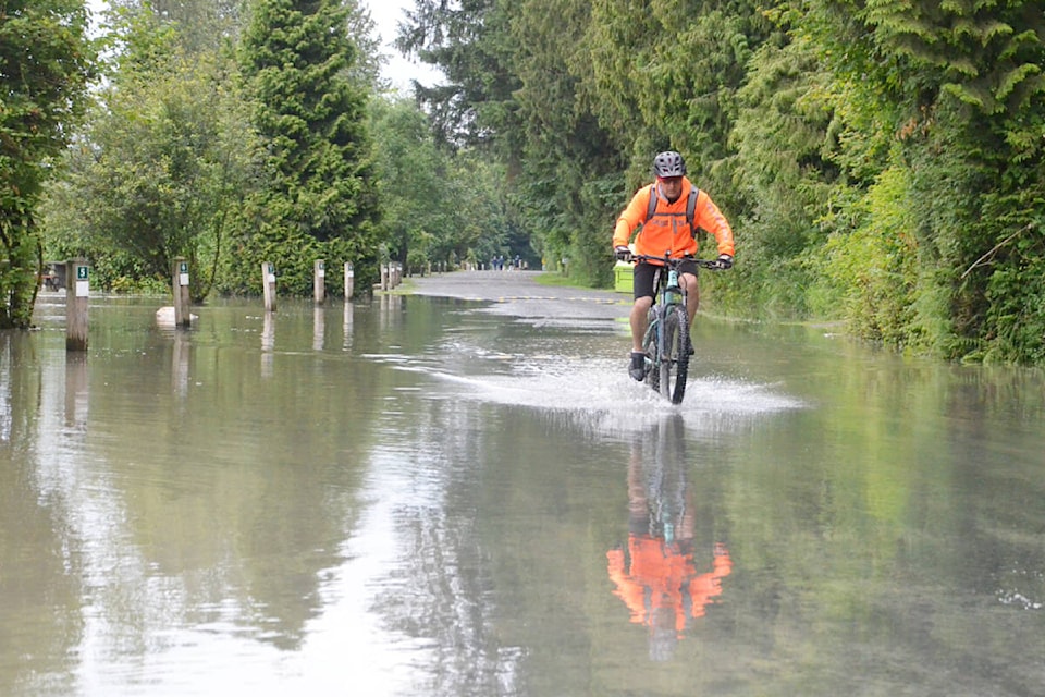
Several trails and riverside park areas, including parts of the Fort Langley Marina, and paths along 208th Street and in Brae Island Regional Park, remain closed as they are under water.
People are advised to be careful along the shoreline, as the water is fast moving at this time of year.
A heavy snowpack that built up through the cool, wet late spring had raised fears of a significant flood this year. Sudden warm temperatures or heavy rainfall in the mountains can melt too much snow at once, sending river levels up very quickly.
READ MORE: Flood threat recedes but Fraser River still high near Langley
READ MORE: Flood watch near Kelowna, as rain, thunderstorms persist in south, southeast
Have a story tip? Email: matthew.claxton@langleyadvancetimes.com
Like us on Facebook and follow us on Twitter.